Red Flag Warning today
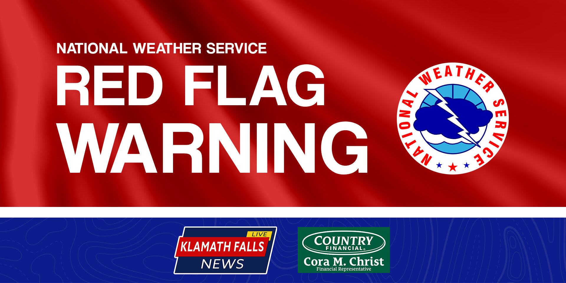
/The National Weather Service has issued a Red Flag Warning from 2:00 PM to 11:00 PM today, June 23, 2021
The 2021 Summer Weather Alerts are brought to you by Cora Christ, Country Financial.
A RED FLAG WARNING IN EFFECT FOR ABUNDANT LIGHTNING ON DRY FUELS FROM 2:00 PM THIS AFTERNOON TO 11:00 PM PDT THIS EVENING FOR FIRE ZONES 280, 621, 623, 624, AND 625.
A FIRE WEATHER WATCH IN EFFECT FOR ABUNDANT LIGHTNING ON DRY FUELS FROM THURSDAY AFTERNOON THROUGH THURSDAY EVENING FOR FIRE ZONES 280, 281, 282, 284, AND 285.
A Red Flag Warning and/or Fire Weather Watch has been issued for most of our coverage area for Wednesday, June 23, 2021 [Click to enlarge]
Thunderstorm activity today will be more isolated, but scattered activity is expected over and near the Marble and Siskiyou Mountains, the Cascades near and north of Crater Lake, and across much of the East Side. While most storms will produce wetting rainfall, significant lightning on dry fuels is expected, and isolated dry storms are possible. The low is expected to move southward Thursday focusing additional thunderstorm activity over Northern California. Very hot and dry conditions are expected Friday through Monday with record high temperatures likely.
Lightning and high fire danger will likely result in new fire starts. Gusty thunderstorm winds could contribute to fire spread. Despite rainfall, initial attack resources could be overwhelmed and holdover fires are possible.
Affected area: Fire Weather Zones 623, 624, and 625, including portions of the Rogue River-Siskiyou and Fremont-Winema National Forests, Crater Lake National Park, and the communities of Chemult, Crescent, Crescent Lake, Fort Rock, Silver Lake, Summer Lake, and Paisley.
Wind: Gusty and erratic wind gusts to 40 mph are possible in and near these thunderstorms.
Thunderstorms: Isolated dry thunderstorms are possible, but most are likely to produce at least some rainfall.
Precautionary and Preparedness Actions
Familiarize yourself with your evacuation plan. Where will you go? How will you get there? Who will you call to let others know you are safe? Visit ready.gov/wildfires for more information.
A Red Flag Warning does not mean there is a fire. It means that critical fire weather conditions are either occurring now or will shortly. These conditions promote the rapid spread of fire which may become life-threatening. Evacuate if ordered to, or if a fire threatens.
If you have not packed your evacuation kit yet, now is the time to do so. This includes items like important documents and essentials you cannot live without. Fill your vehicle`s fuel tank. Visit ready.gov/kit for more information.
Plan now to avoid using equipment that could cause sparks during the period when critical weather conditions are possible. Visit weather.gov/medford/wildfire for links to fire restrictions in your area.
A Fire Weather Watch means that critical fire weather conditions are possible during the valid watch time. These conditions could promote the rapid spread of wildfires which could become life-threatening. Check weather.gov/medford for forecast updates and a possible upgrade of the this watch to a Red Flag Warning.
The 2021 Summer Weather Alerts are brought to you by Cora Christ Country Financial.
Auto, home, life, business, retirement, and farm & ranch insurance. Cora’s team of dedicated insurance professionals are ready to help you with your insurance needs.
Call 541-882-3921 or stop in at 3815 South 6th Street, Ste 130 for a quote today.
Country Financial, Protect What Matters.


